

ROUTE. CONNECT. COMPARE. REFINE.
Routing and network planning for infrastructure teams
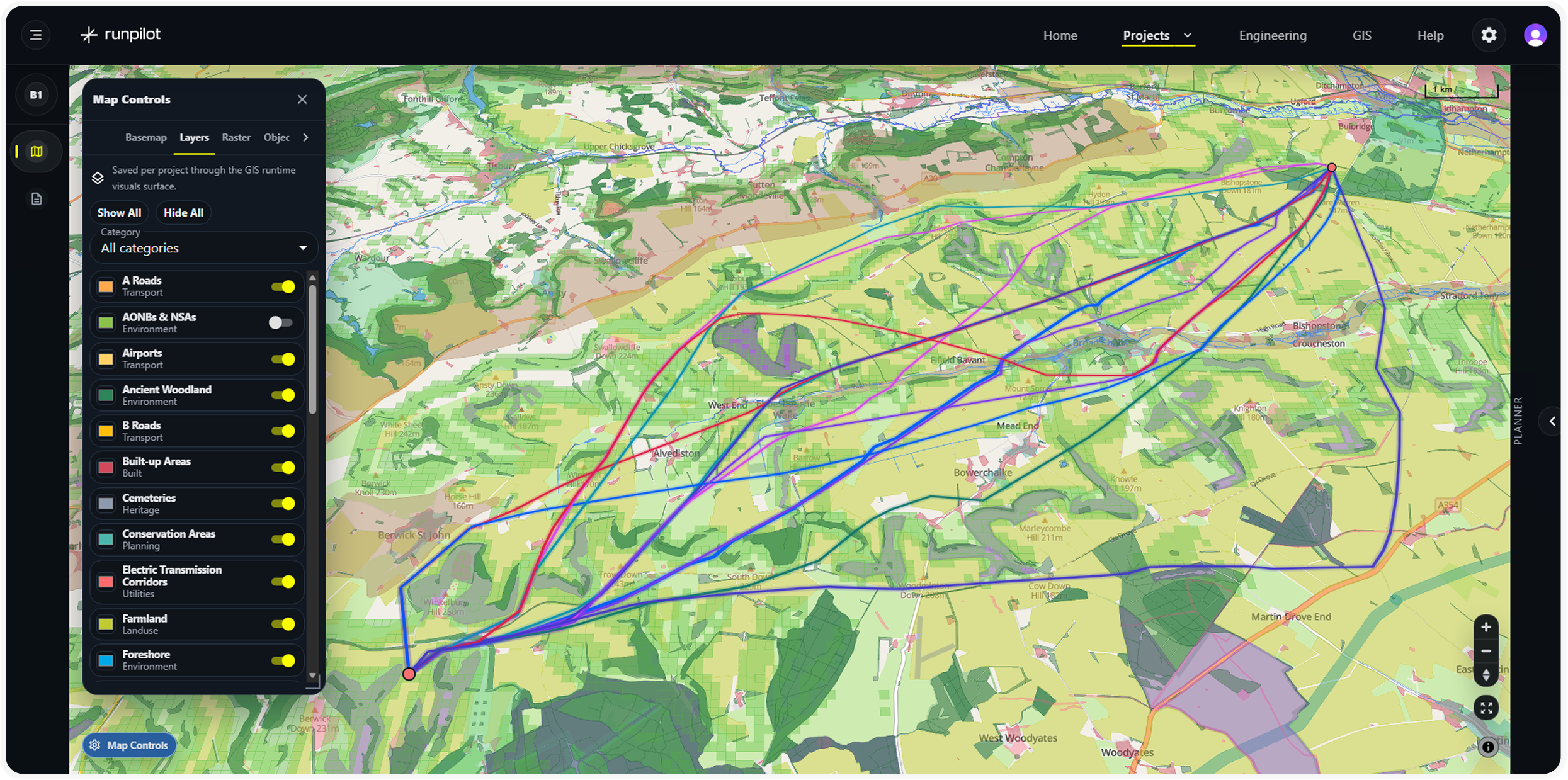
RunPilot helps teams generate and compare route, connection, network and phasing options using geospatial constraints, high-resolution cost surfaces and engineering aware scenario testing.

Proudly Supported By


Plan better routes before decisions harden
Infrastructure planning slows down when route options, constraints, cost assumptions and risk evidence sit in separate tools. RunPilot brings them into one comparison workflow, helping teams explore options earlier and move forward with clearer evidence.
Generate route options
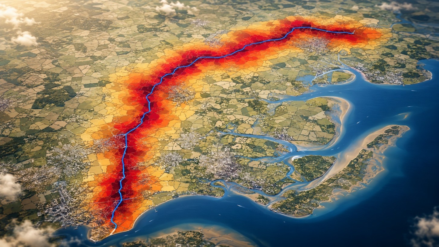
Create multiple route, connection and network options from project data, weighted criteria, live constraints and cost surfaces, so teams can explore credible alternatives in minutes, not days.

Compare trade-offs
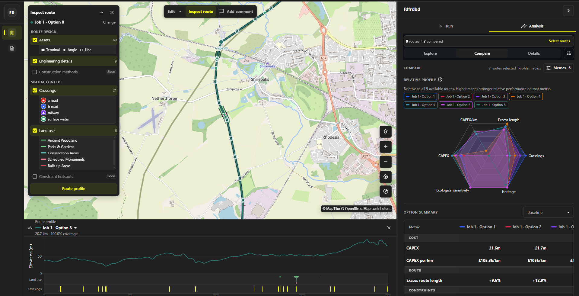
Assess options across cost, risk, engineering, objection, land, environment, consenting and deliverability.

Screen constraints
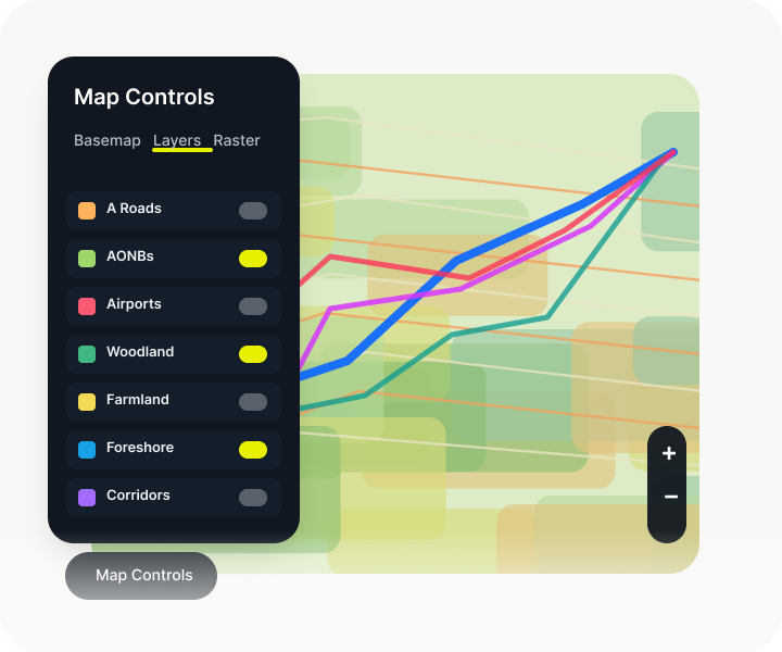
Bring GIS, environmental, planning, land and technical constraints into the process from the start.
Refine scenarios
Adjust assumptions, change weightings, rerun scenarios, cost models and narrow the option set before routes or corridors become fixed, helping teams respond quickly as evidence changes.

Work from macro to micro
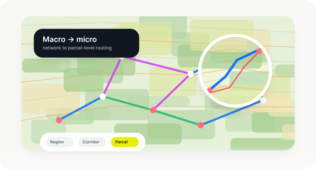
Compare route, connection, capacity and phasing choices in the context of the wider infrastructure network or to refined local route alignments, keeping early planning logic connected to future network development.
Build the evidence base
Create option portfolios and comparison outputs that explain why routes were selected, rejected or retained, supporting clearer internal review and client recommendations.

From data to route decisions
RunPilot combines project data, spatial constraints, engineering assumptions and cost models into a structured option comparison workflow
A faster way to test infrastructure options
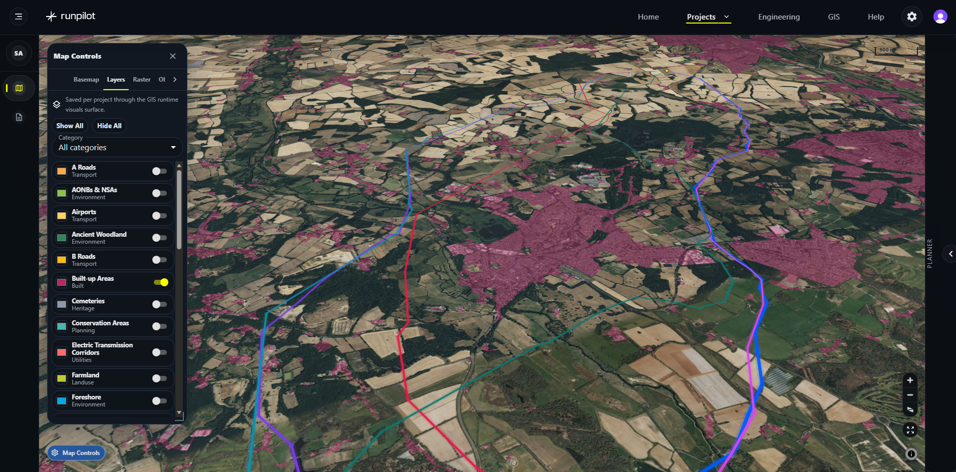
Import project data, adjust weightings, generate route options, and compare trade-offs across scenarios. RunPilot helps teams understand the impact of each decision before committing to a route.

Import GIS layers and project constraints

Create weighted cost surfaces

Compare route options side by side

Iterative scenario modelling
Retest options as assumptions, constraints and project evidence change.
Configurable planning criteria
Adapt datasets, cost assumptions, constraints and comparison criteria around operator and project requirements.

Agentic analysis, in development
Agentic infrastructure optioneering and consenting analysis to help monitor evidence, test scenarios and identify where changing information affects current options.
Screen consenting exposure earlier
RunPilot helps teams screen community, stakeholder, planning and land sensitivity alongside technical constraints, so higher risk sections can be identified while route options are still flexible.
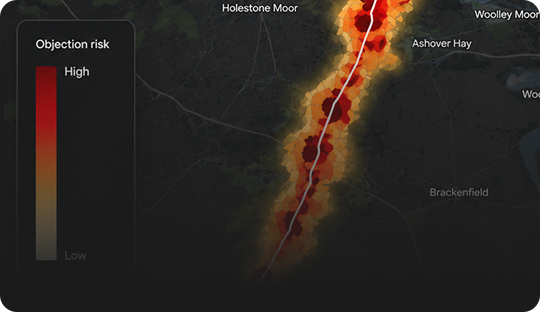
Find lower-risk alignments
Compare route options against public and stakeholder challenge, so teams can avoid obvious hotspots before routes are hardened.
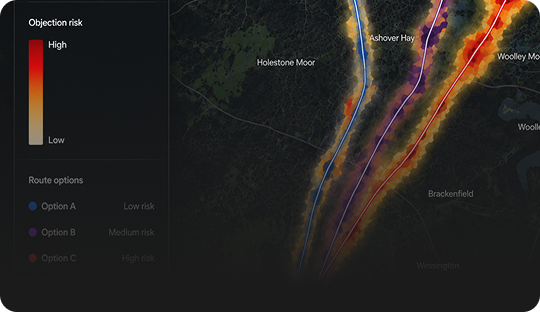
Compare exposure
Surface where communities, landowners, or planning constraints may create delivery risk, then refine the route before consultation starts.
Blog

Start building today
Ready to test RunPilot on a real project?
© All rights reserved AENi Limited.
